James River Fishing Spot
4 Rating based on
1 Reviews
- Public Fishing: Yes
- Elevation: 50'
- Last Modified By: carpmaster on 05/27/10 07:15 PM
- Ask about James River in our Fishing Forums
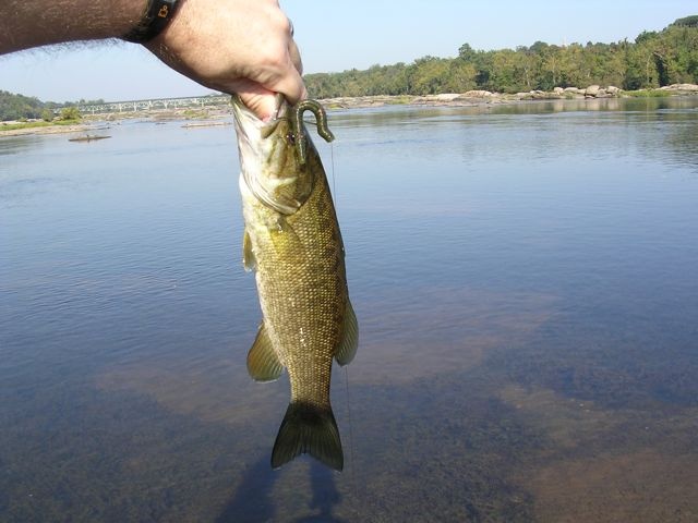
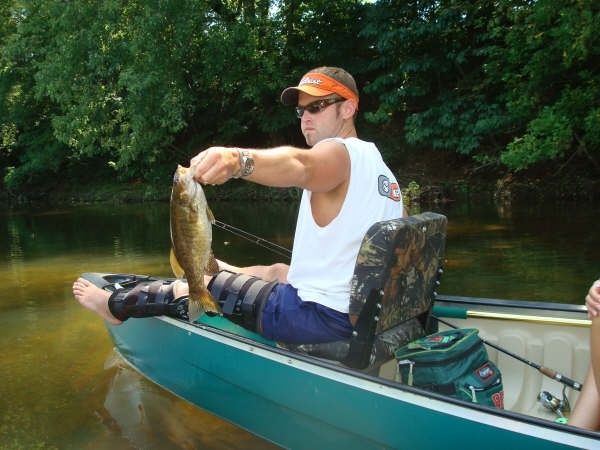
Photos

Fish Species
James River Description
The James River in the U.S. state of Virginia is a 410-mile (660 km) long river, including its Jackson River source. It drains a catchment comprising 10,432 square miles (27,020 km2). The watershed includes about 4% open water and an area with a population of 2.5 million people (2000). It is the 12th longest river in the United States that remains entirely within a single state.